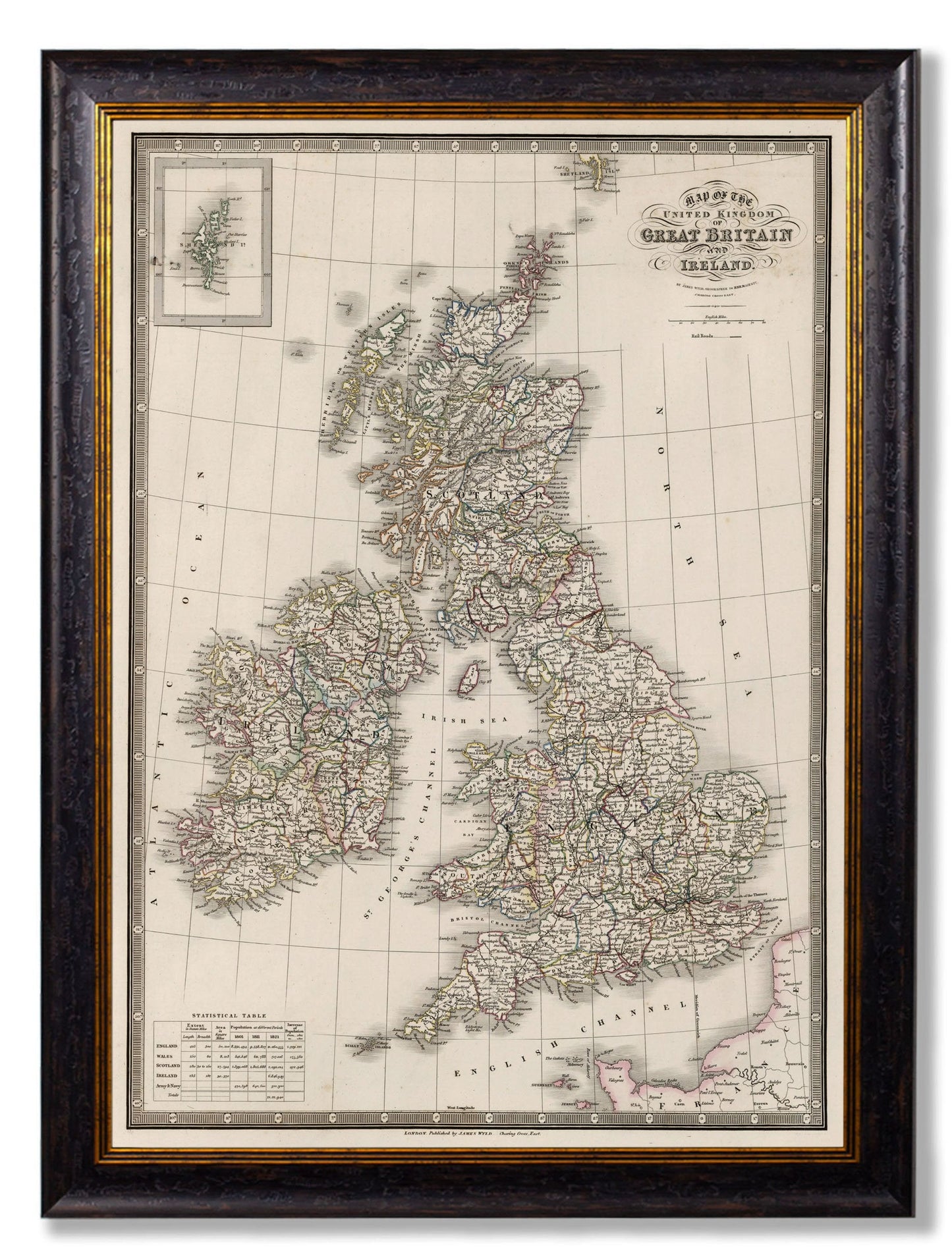
c.1838 Map of The British Isles
c.1838 Map of The British Isles
Couldn't load pickup availability
Reviving a beautiful map of the British Isles from 1838, this incredibly detailed print puts a distinguished finishing touch on a range of sophisticated interior design schemes. We’ve digitally remastered it here in our Lancashire studio, reawakening its original hand-coloured county lines to restore it to its former glory.
We’ve printed this exquisite map using archival grade methods for the finest quality and durability, and we’ve mounted it in a sustainable wood frame ready for you to hang. Each and every element is hand cut, printed and assembled in Britain to create pictures of distinction with minimal carbon footprint.
Frames:
50 x 70cm - Oxford Slim
70 x 95cm - Oxford
95 x 135cm - Oxford
Delivery Information
This item is delivered directly from one of our trusted suppliers and may arrive separately from other items in your order.
Stocked items are usually dispatched within 3 working days, although delivery times may vary slightly depending on the item and location.
Share